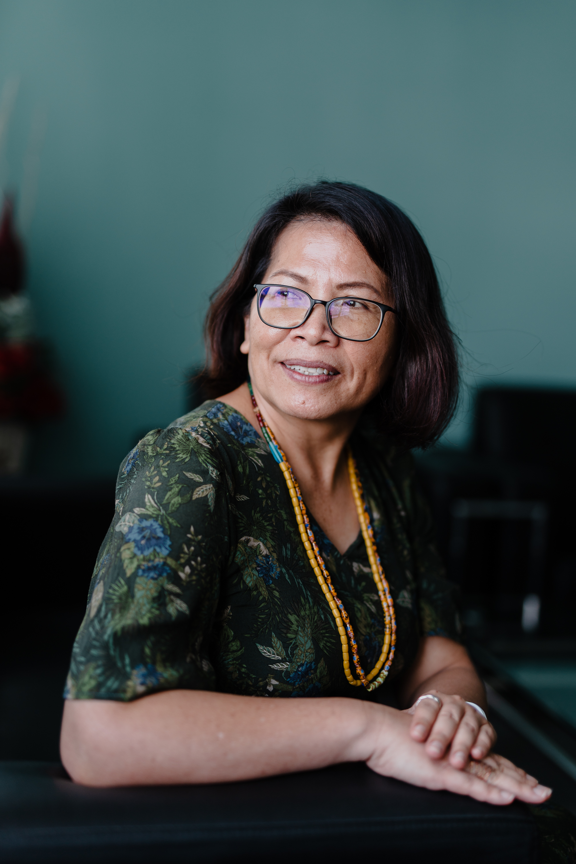
Professor Dr Poline Bala
Director, Institute of Borneo Studies
Professor, Faculty of Social Sciences and Humanities
Chief Editor, Journal of Borneo Kalimantan
Research Fellow, Institute of Social Informatics and Technological Innovations
Universiti Malaysia Sarawak (UNIMAS)
94300 Kota Samarahan
Sarawak, Malaysia
A NOTE FROM THE DIRECTOR
Borneo, with an area of 743,330 square kilometres, is the third largest island in the world. Geographically, the island is commonly divided into 3 distinctive physical geographic zones: upland, the riverine, and the coastal. Politically it is divided between three nation states: Malaysia, Indonesia and Brunei. A closer look reveals the island is further divided into many more administrative units to administer its people, its environment (land and waterways), its flora and fauna, etc.
Yet there are more connections on the island of Borneo than there are divisions. These connections, whether they are social, economic and political in nature, have existed from time immemorial. They may have changed in shapes, forms and nature, yet they continue to persist. It has been partly these connections, which gave the island of Borneo and its rich human and natural landscapes a coherent state. They become important means to negotiate forces of change and social transformation.
It is a picture of symbiosis, and to some local communities resembling a tree. Those living in the coastal areas make the base of the tree. These are mainly Malays and Chinese. The middle zone comprises of those living along the banks of the main rivers that make up the tree trunk. These are the Iban and Bidayuh. They traditionally inhabit much of the lower part of major rivers. The Orang Ulu especially the Kayan and Kenyah who traditionally inhabit the upper parts of these rivers along the river branches and tributaries form the tree branches. Meanwhile, those living in the headwaters of the rivers make up the tree’s flowers and fruits. These are upriver communities such as the Penan, Punan Bah, Kayan, Kenyah, Lun Bawang, Tagal, Potok, Berau, Milau, Saban, Kelabit and the Kerayan people. This is a metaphorical map in order to make sense of the diversity of cultural habitat, locations and people between the different geographical zones.
Capitalizing on Borneo’s unique position as a “place that connects'' space, time, ideas, objects and people, IBS is dedicated to advance Borneo knowledge through building research capacity for transnational, historical, comparative, collaborative as well as interdisciplinary works of the island in an intellectually vibrant environment. As it is, Borneo Studies has much to offer to the general corpus of the natural sciences, social and human sciences. More so now to provide Borneo perspectives on contemporary global issues, challenges and imperatives, as outlined in the Sustainable Development Goals (SGDs), to inform policies, development debates and best practices, and to advance insights and cutting-edge research on sustainable livelihood frameworks as well as theory and practice of development amongst diverse and dispersed communities on the island of Borneo.
Get in touch and let's work on advancing Borneo Knowledge together.